EDUCATOR RESOURCES
Coastal Erosion Lesson Plans for Teachers and Educators
-

How do plants help erosion?
2nd-3rd Grade Science & ELA
This lesson teaches students about two kinds of root systems (taproot and fibrous) and how plants help reduce the impacts of coastal erosion. Students will compare plants with taproot systems and fibrous root systems, observe a demonstration about how plants stop erosion, and examine the two types of root systems using a carrot (taproot) and grass (fibrous).
-

Exploring Beach Erosion in the Great Lakes
4th Grade Science
This lesson is meant to expose students to an example of environmental change, beach erosion, in the Great Lakes. This lesson demonstrates the natural process of Lakeshore erosion in the Great Lakes. Students will identify ways beach erosion occurs, identify ways to stop erosion, build a hands-on model demonstrating ways to reduce the impacts of erosion and create a movie about their model. This lesson is prepared by Amy Martin-Crowel.
-

Designing and Debating Solutions
6th-8th Grade Science & ELA
During this ELA-focused unit, students will design and build a hands-on model demonstrating a solution to the environmental issue of coastal erosion. Students will also recognize and record the causes and effects of coastal erosion to prepare for an oral debate. Finally. students will present their arguments and evidence during the debate. This lesson is prepared by Bowers Institute.
-

Coastal Erosion - Great Lakes Literacy Education Exploration
6-12th Grade Science
Great Lakes Literacy Education Exploration (GLLee), are an introductory collection of resources and partners assembled in three easy steps to help teachers and youth explore Great Lakes Literacy through place-based education and stewardship opportunities in your school and community!
What? Coastal erosion is the process by which strong wave action and coastal flooding wear down or carry away rocks, soils, and sands along the coast.
Driving Question? How does coastal erosion shape the shorelines of the Great Lakes and impact our ecosystems and communities?
Videos and Graphics
This presentation aimed at educators includes talks from the following professionals about different topics pertaining to Lake Superior: how it is monitored with buoys, what local emergency managers are doing to prevent risks along the shorelines, and general water safety tips for staying safe along the shorelines.
Password: An421ad*
LSSI Professional Learning Session Recording: Eyes on the Lake
Buoy data:
https://seagull-beta.glos.org/landing
Great Lakes wave models, water level data, ice cover maps:
https://usicecenter.gov/Products/GreatLakesHome
Snowfall and snow depth data:
https://origin.wpc.ncep.noaa.gov/pwpf/wwd_percentiles.php?ftype=percentiles&fpd=72&ptype=snow
Useful Links and Resources from the Eyes on the Lake Workshop
Satellite and radar data:
https://www.ssec.wisc.edu/data/wisc/
https://www.wunderground.com/maps/radar/current/cad
Severe weather outlooks:
https://www.spc.noaa.gov/products/outlook/
Additional weather and climate tools:
Professional Learning Session: Exploring Western UP Coastal Hazards with Students
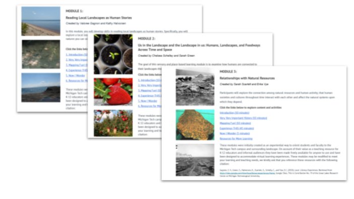
Local Literacy Modules for Lake Superior Basin
This series of modules focuses on characteristics that make our Michigan Tech home unique, the Lake Superior Basin and geology, and Indigenous histories and contemporaries that are foundational to the landscape.
These modules were initially created as an experiential way to orient students and faculty to the Michigan Tech campus and surrounding landscape.
Living Shoreline Resources
(Click on images to follow the links to the source materials)


